
Overview
Address
1670 E 29th Ave, Vancouver, BC
Neighbourhood
Kensington-Cedar Cottage
type
Residential
Description
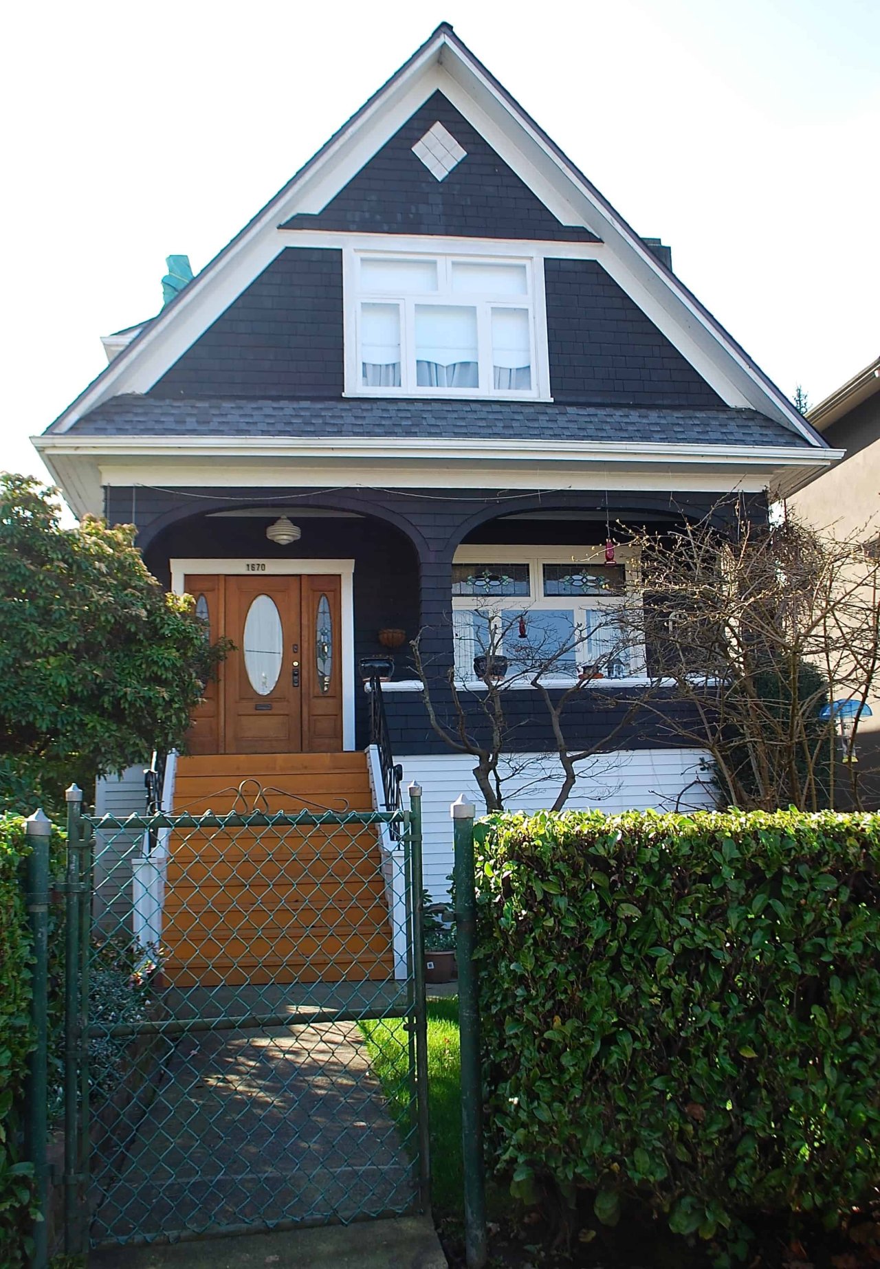
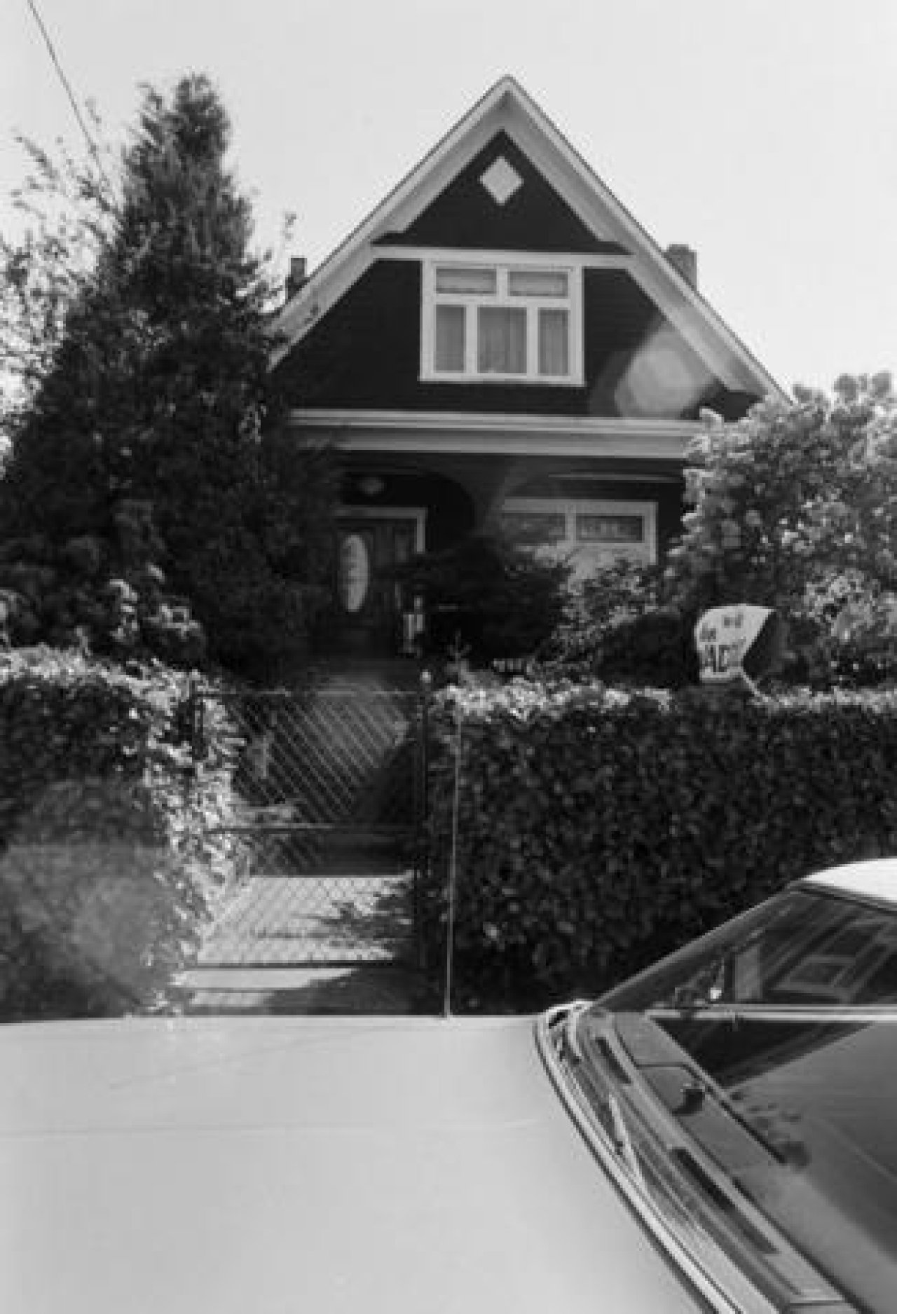
1670 East 29th Avenue is a 1-1/2-storey, steep-gabled house, built in 1910 between the two main arterials, Knight Street and Victoria Drive, on a narrow 10 meters by 47 meters rectangular lot in Vancouver’s Kensington-Cedar Cottage neighborhood. It appears on Goad’s Fire Insurance map of 1911 with the address number ‘1432.’ That address first appears in the 1913 City Directories as 1432 30th Avenue E., with Sigvart Salvesen as the occupant. After the 1929 amalgamation of Vancouver, South Vancouver and Point Grey, the house became 1670 East 29th Avenue.
This house represents the gabled vernacular form, characterized by a dominant front-facing gable, a steeply pitched roof, and a roof skirt that shelters a deep front porch. On the main level, the design positions the front door on one side, while the three-panel window is on the other. The entry door includes sidelights on both sides, an oval glazed insert, and the window has a double transom above. These glazed features improve daylighting into the interior of the space. The front porch uses basket-arched openings to create a softer entrance. There is detailing, such as the diamond-shaped gable vent, shingles on the gable face and horizontally at the base, distinguishing the upper and lower levels.
The Wrigley’s British Columbia Directory recorded that Sigvart Salvesen lived at 1670 East 29th Avenue with his wife, Helga Anderson, and their three children, Sigurd, Margaret, and Arne, until his passing in 1957. Salvesen was born in Norway in 1878 and moved to British Columbia in 1906, spending a total of 51 years in the province. During his time here, he worked as a master mariner with Pacific Mills. An obituary article published in The Vancouver Sun, August 1957, quoted he was known as "He Who Can Smell Weather" by those he worked with.
Before settlers transformed Westminster Road into a wagon road, now known as Kingsway, it was a walking path used by Coast Salish peoples to reach gathering and hunting areas. Much of this neighbourhood’s natural abundance was near this address at Gibson Creek, and it contained a rich ecosystem of salmon, trout, lamprey, eels, and sticklebacks.
Research Credit: Marco H. (February 2026)
Source
City of Vancouver, City Directories, Scout Magazine, Montecristo Magazine, The Vancouver Daily Province, The Vancouver Sun
Gallery
Map
Contact
Please Share Your Stories!
Send us your stories, comments or corrections about this site.