Overview
Address
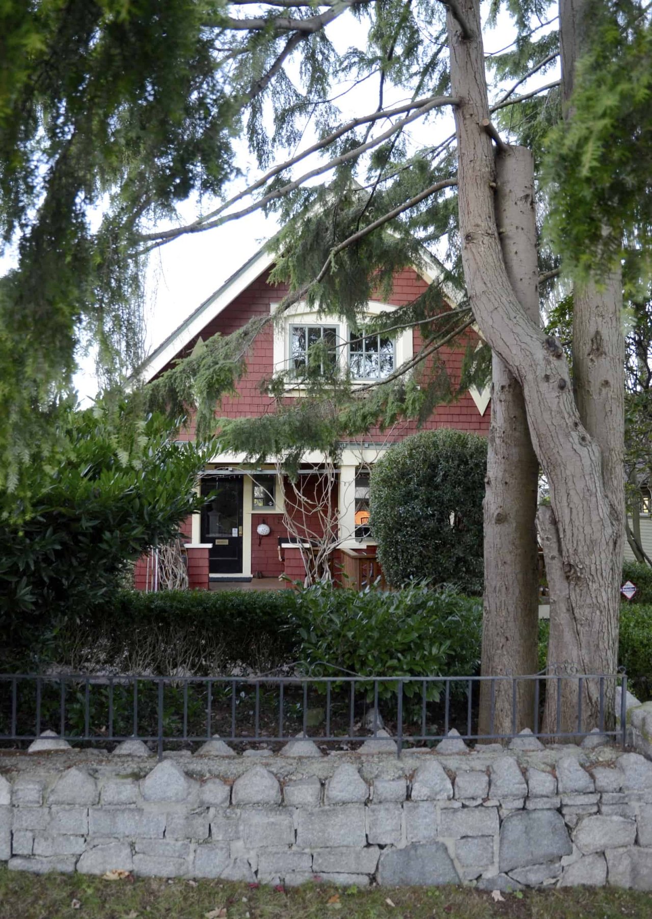
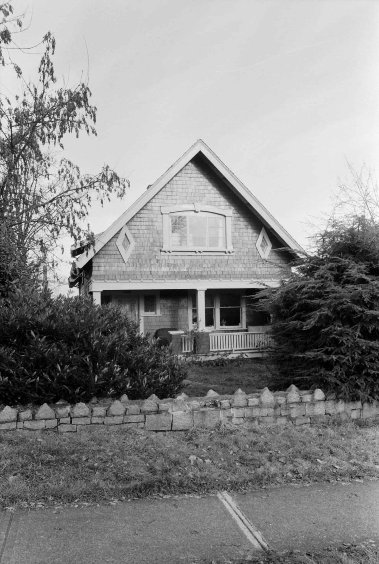
3737 W 11th Ave, Vancouver BC
Neighbourhood
West Point Grey
type
Residential
Description
Built in approximately 1921, this Craftsman home first appears in the 1925 city directory as 3760 West 10th Avenue. Records note that owner Jacob C. Christian, a contractor, later paid $500 in 1928 to move a building to 3737 West 11th Avenue—which was very likely the same house. Jacob Christian continued to live here for several decades. In 1948, Mrs. Lillian Christian, a clerk at Hudson’s Bay, and Elsie Christian, a saleswoman at Woodwards, are listed as primary residents.
Jacob Christian built several retail buildings and a gas station on 3700 block West 10th between 1926 and 1928. These included 3762 West 10th which housed Alma Electric Co. and 3764 West 10th which was an eggteria and later a meat market. Other tenants on the block included a shoe repair and tailor. The retail block developed by Christian appears to have been demolished, but immediately to the east two similar era mixed-use buildings still remain at 3742 West 10th (built in 1926) and 3720 West 10th (built 1925).
Christian developed West Point Grey Service Station at Highbury and West 10th, a lot that now sits primarily empty with a BC Hydro Rectifier station at the back of the lot. In 2006, BC Hydro proposed to move Black Swan Records building (2936 West 4th) to this site but this plan did not proceed and 2936 West 4th was demolished.
Situated in West Point Grey, this area has seen significant change over the years. Initially it was home to the Musqueam, Squamish and Tsleil-Waututh peoples. In 1791 Spanish explorer Jose Narvaez landed on the shores of this area, naming it Langara Point. Approximately one year later, Captain George Vancouver arrived and renamed the area after his friend Captain George Grey. Significant residential development in the area didn’t start until 1912, shortly after the Municipality of Point Grey was established in 1908. In 1912 the area gained a streetcar route running along 10th Avenue from Alma to Sasamat Street, down Sasamat to West 4th. To this day, you can still see remnants of the streetcar as Sasamat is significantly wider than most other non-arterial streets. This home was located right in the area’s transit hub. Some of the first retail businesses on this stretch of West 10th between Alma and Highbury Street would have opened around the same time as the streetcar route began.
Source
Heritage Vancouver Building Permits Database, VPL British Columbia City Directories 1860-1955, VanMap
Gallery
Map
Contact
Please Share Your Stories!
Send us your stories, comments or corrections about this site.